💬 K čemu je dobrá Digitální technická mapa ČR? DTM ČR představuje obrovský krok vpřed v oblasti geodézie a územního plánování a procesu stavebním řízení. Článek si můžete přečíst zde 👉
Více informací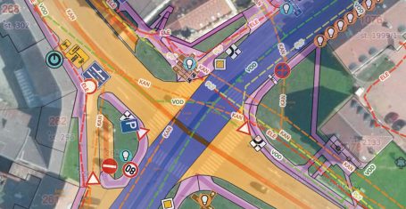

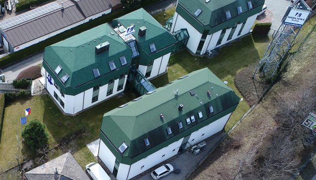
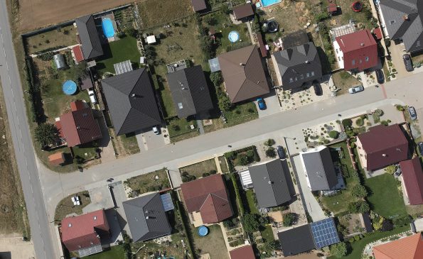
Geoslužby pro stavby, jejich plánování, realizaci i provoz
Kdo nás využívá?

Nabídka služeb MAWIS podle toho, co děláte:
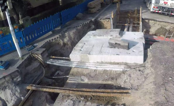
Síťaři
Služby, které podporují práci vlastníků, správců a provozovatelů technické infrastruktury.
Obce a kraje
Služby pro obce a kraje v roli správců veřejného majetku a mapových podkladů.
Stavebníci
Podporujeme stavebníky při inženýringu, projektování i provádění staveb.
Projektanti
Aplikační podpora projektantů staveb. Vytyčování a zaměřování pro stavby, inženýrské sítě.
…podle životního cyklu stavby nebo vaší životní situace.
MAWIS produkty a služby podle názvu:
PODPORA VYJADŘOVÁNÍ K SÍTÍM
Hromadné zjištění všech správců inženýrských sítí a podání žádostí o vyjádření k existenci sítí.
Veřejné podatelny, přes které mohou stavebníci bezplatně podávat žádosti obcím, krajům či správcům.
Vyjádření na klíč nejen k existenci sítí od správců technické infrastruktury zasažených stavbou.
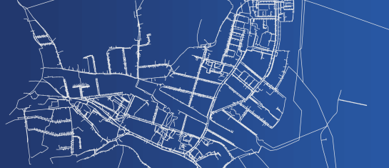
ZOBRAZOVÁNÍ A EDITACE DAT
Cloudová mapová aplikace pro vizualizaci, publikaci, správu a sdílení geodat a souvisejících dokumentů.
PROFI NÁSTROJE PRO INŽENÝRING
Pokročilé analytické a zpracovatelské nástroje pro práci s geodaty a daty katastru nemovitostí.
DIGITÁLNÍ SLUŽBY PRO STAVBY
Přesné a rychlé dokumentování staveb a vytvoření 3D modelu pomocí mobilního telefonu.
Elektronické záznamy o stavbě s dokumenty a fotografiemi. Aktuální údaje o průběhu stavby.
MAJETKOPRÁVNÍ VYPOŘÁDÁNÍ
Tvorba smluv, dokumentů a návrhů na vklad do katastru nemovitostí při inženýringu staveb.
Sledování stavů majetkoprávního projednávání věcných břemen pro mandatáře i investory.
Záborový elaborát na klíč pro váš inženýring staveb a tvorbu majetkoprávní dokumentace.

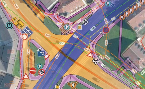
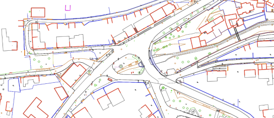
ZOBRAZOVÁNÍ A SPRÁVA GEODAT
Vytváření, zpracování a publikace dat územně analytických podkladů pro správce, obce i kraje.
K čemu je dobrá Digitální technická mapa ČR?
DTM ČR představuje obrovský krok vpřed v oblasti geodézie a územního plánování a její přínosy budou ve stavebním procesu nezastupitelné.
Vyšla nová verze formátu pro DTM ČR, Mawis je na ni připraven
Byla vydána verze 1.4.3 jednotného výměnného formátu digitálních technických map pro odevzdání geodetických měření do DTM krajů.
Objevte nový rozměr správy geodat s Geoportálem
Objevte Geoportál od MAWIS, cloudovou mapovou aplikaci pro efektivní vizualizaci, publikaci, správu a sdílení geodat.